Jarvis Peak
Description
Mark this day. Today is the day I say I did not like a hike. In case you have ever wondered if I would tell you not to do one, this is also the day for that. The attempt to reach Jarvis Peak was a disappointment.
The drive to get to the trailhead is pretty. You can turn onto what AllTrails calls the trailhead and shave quite a bit of distance off of the supposed trail if you have a high clearance vehicle. There are not many spots though to park to be off the road.
We continued hiking up the access road once we determined we did not care to get stuck or wreck the undercarriage of our vehicle. A downloaded map is absolutely necessary to know where the “trail” branches off the road.
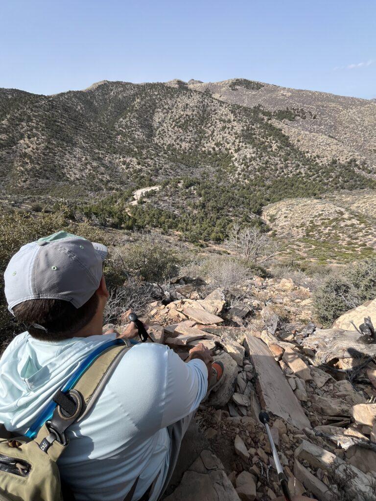
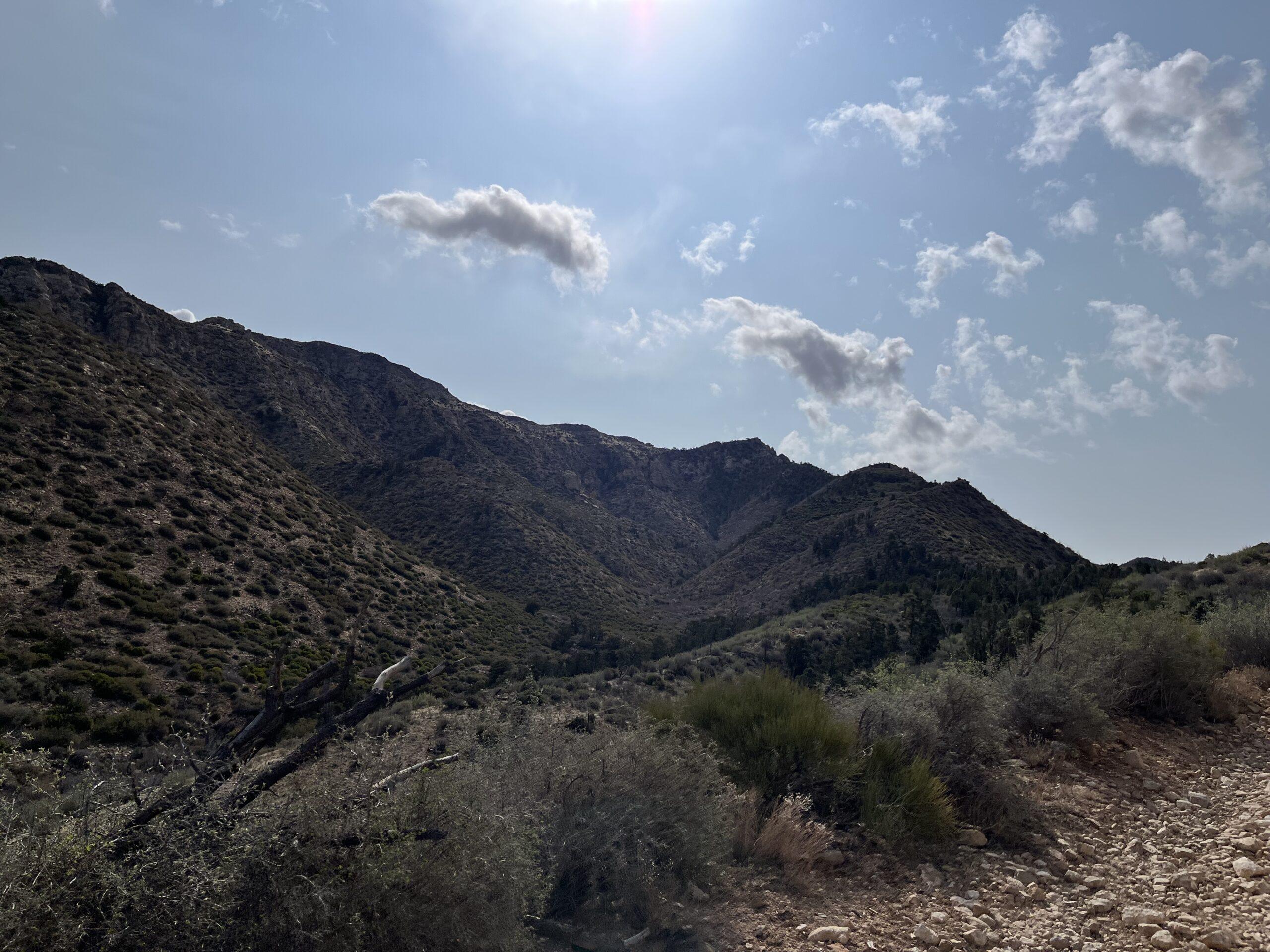
The word “trail” is loosely used here. There is not one. There were a few small sections where we may have been able to classify 5 feet here and there a “trail”, but those sections also closely match washout areas.
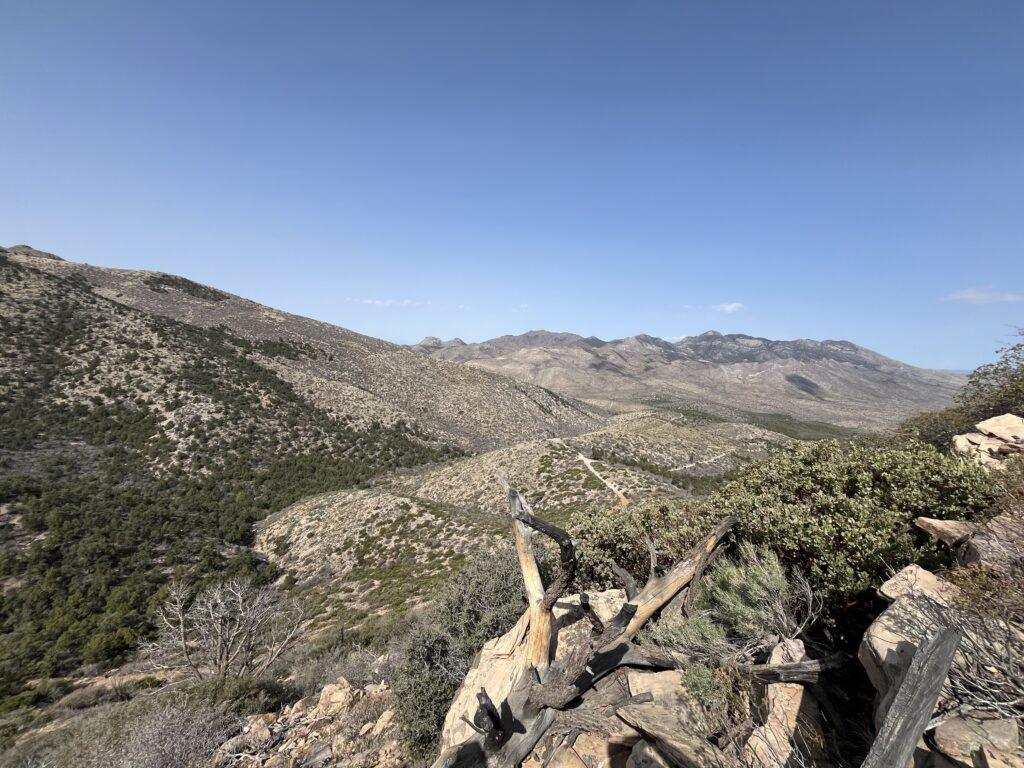
We were scrambling, picking our way through loose rocks, holding onto rocks on a very steep slope. We finally decided we were no longer enjoying ourselves like we would want, and we were not likely to make it to the peak. We enjoyed the view from where we made it to, then slowly and carefully slipped and slided back down the hill. I can say I was close to Jarvis Peak in location, but alas never stood atop it.
Tell Me More
Difficulty: Strenuous.
Trail Stats: 5.3 miles, 1,765 feet elevation gain, out and back.
Trail Finding: As one AllTrails reviewer accurately stated, the trail is non-existent.
Conditions: Loose rock the whole time.
Would I Repeat This: NO.
Let’s Do This
Parking: Parking at the trailhead at the highway, limited areas to park a car along the access road.
Timing: Be cognizant of possible snow at higher elevation. No shade on the portion we completed.
Downloaded Map: Absolutely necessary, there are no markers and little to no signs of any sort of trail. Even when the downloaded map said we were in the right place, there was no clear path or route.
Fees: None.
Nearby Fun
Trails: Head over to Gunlock State Park area and the Vortex.
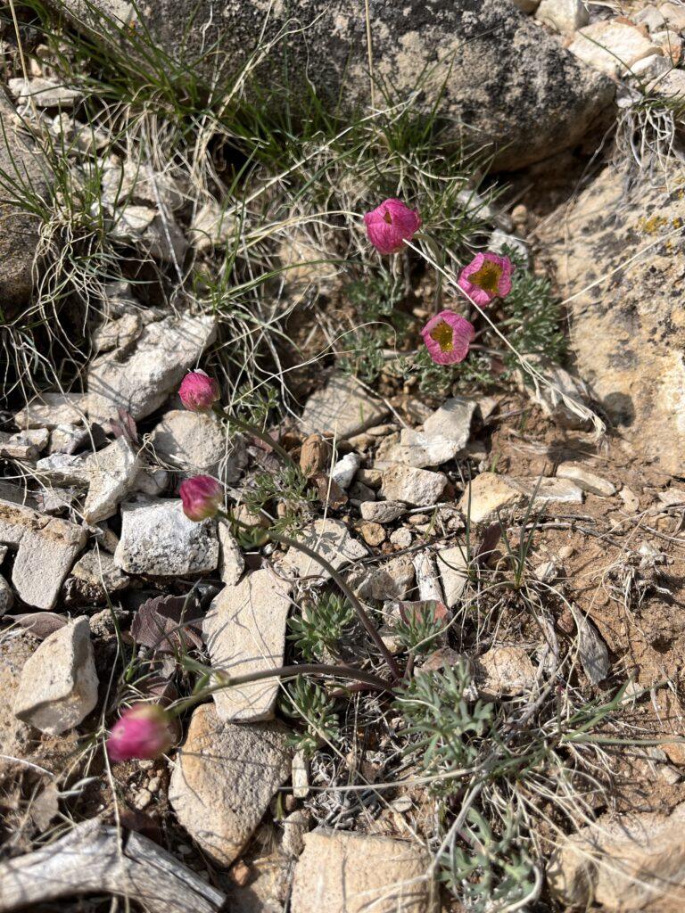
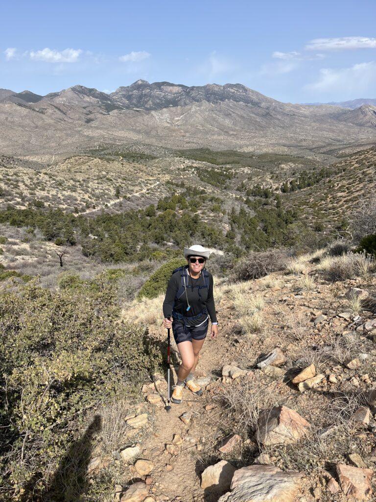
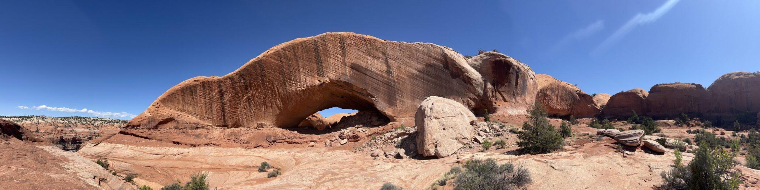
More Photos